New PeakNav 1.3.3 · markers, a pane about any peak you tap, fifteen more languages

PeakNav

Every mountain on Earth, in 3D — with its name, its height and the paths that lead there.

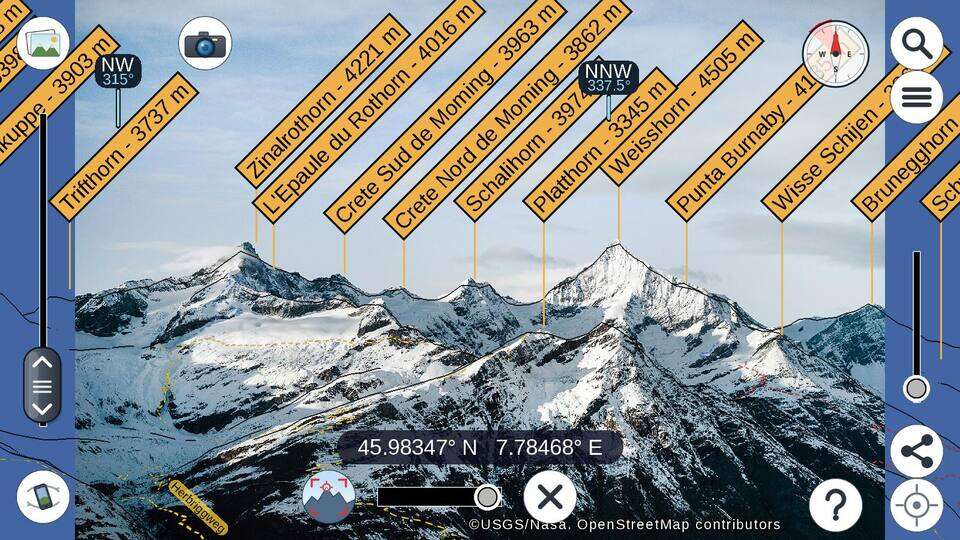
Fly over the terrain, point your phone at the horizon to name the peaks in front of you, or drop a photo in and see it tagged with the summits it shows. Free, open source, and works offline.

Whole planetGlobal elevation & OpenStreetMap data
5 platformsAndroid · iOS · Windows · macOS · Linux
Open sourceGPL v3 — fork it, build it, script it
Features

A 3D map that knows the names of things

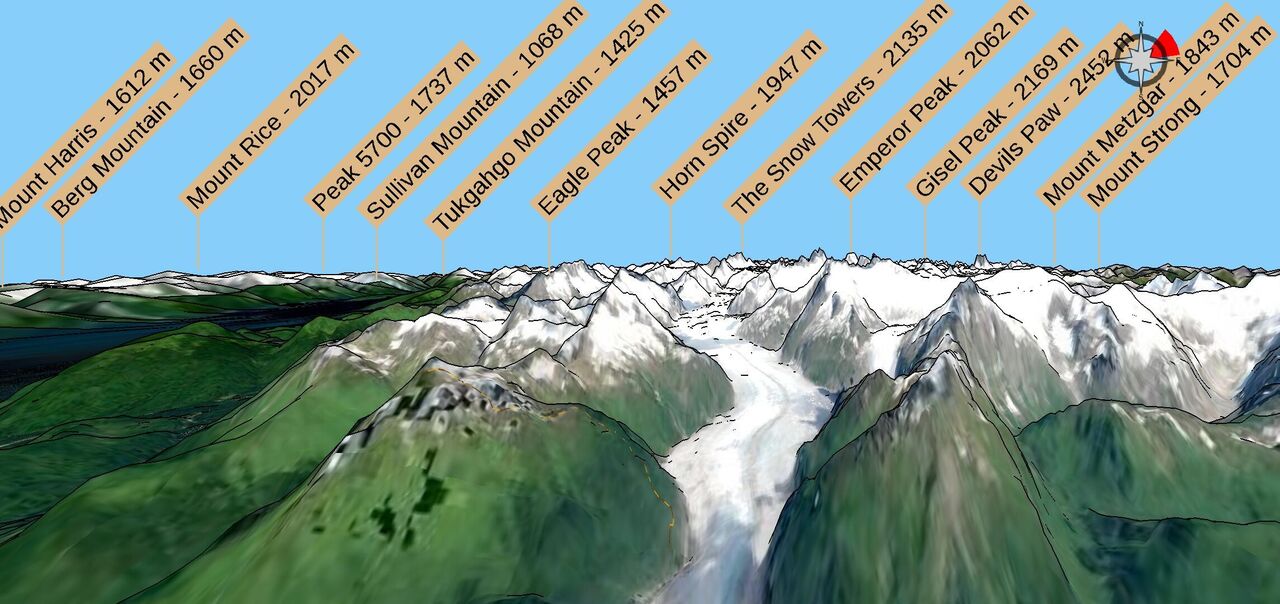
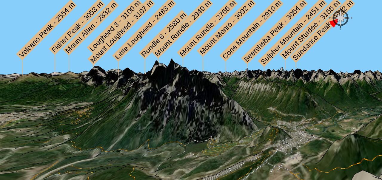
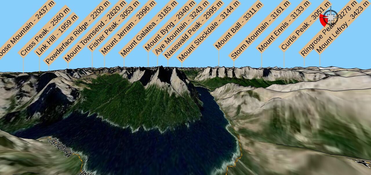
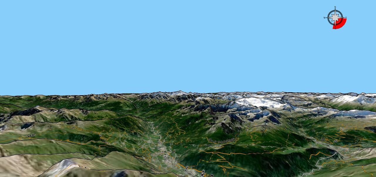
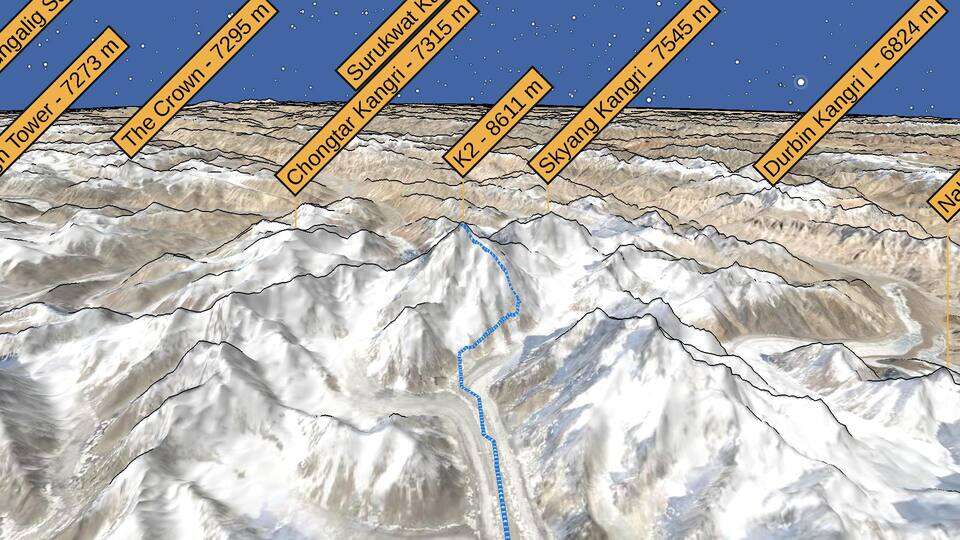
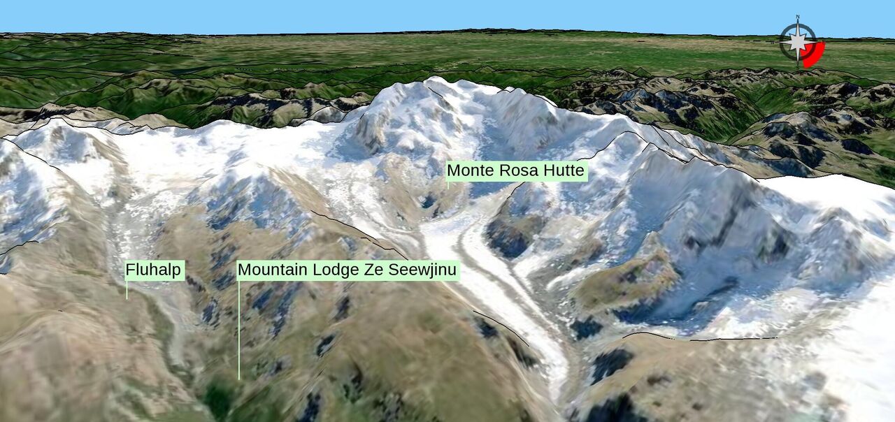
PeakNav drapes satellite imagery, trails and place names over a real elevation model of the whole planet, then lets you look at it the way you look at a mountain — from the valley floor, from the summit, or from the air.

Peaks, named and measured

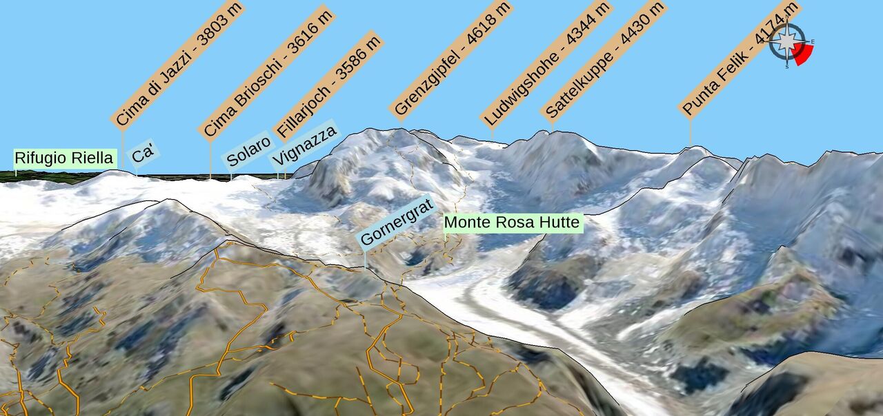
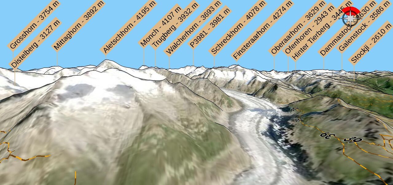
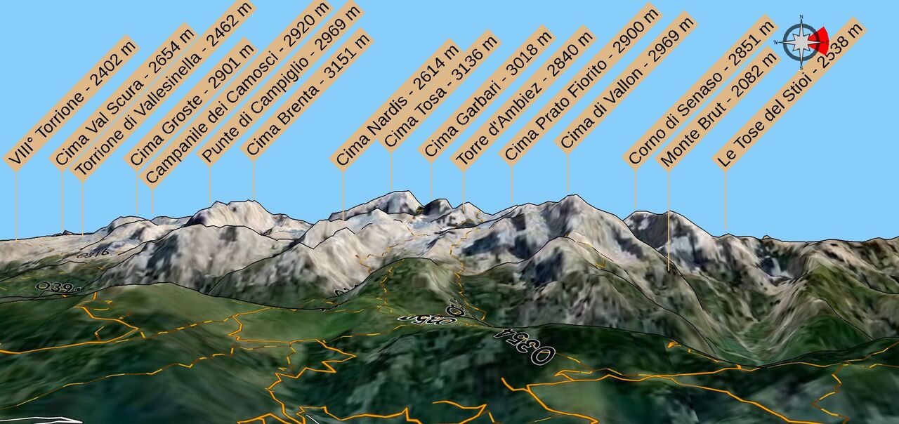
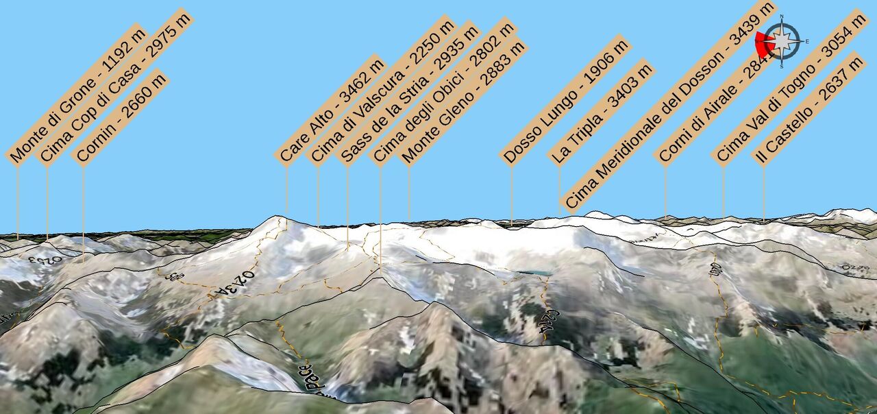
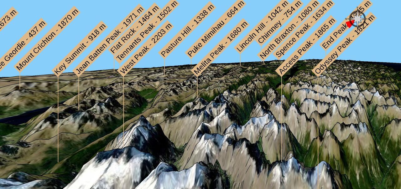
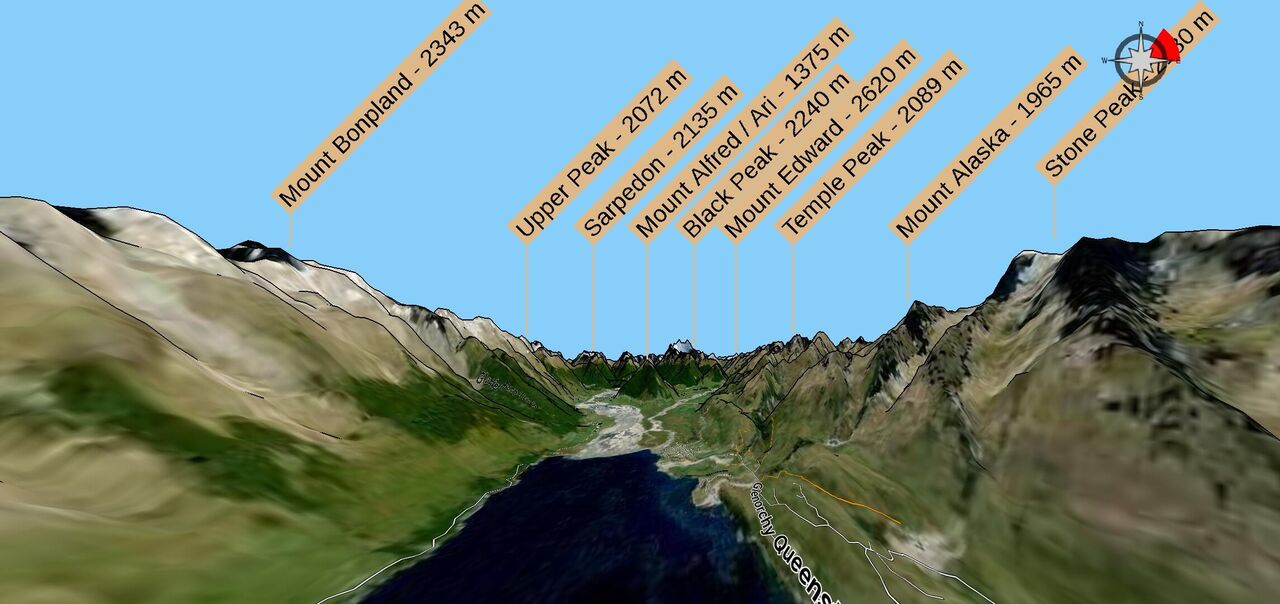
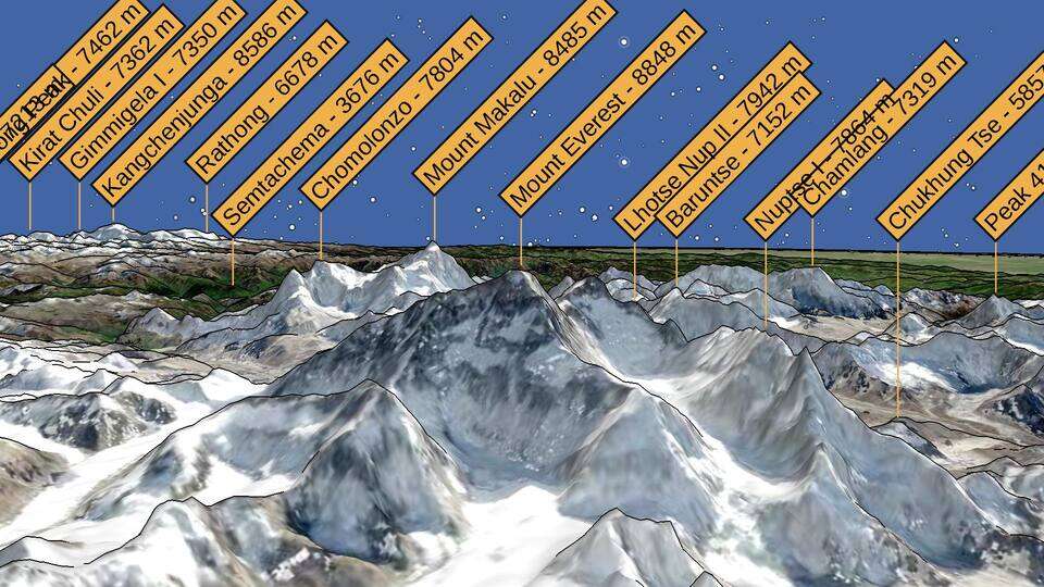
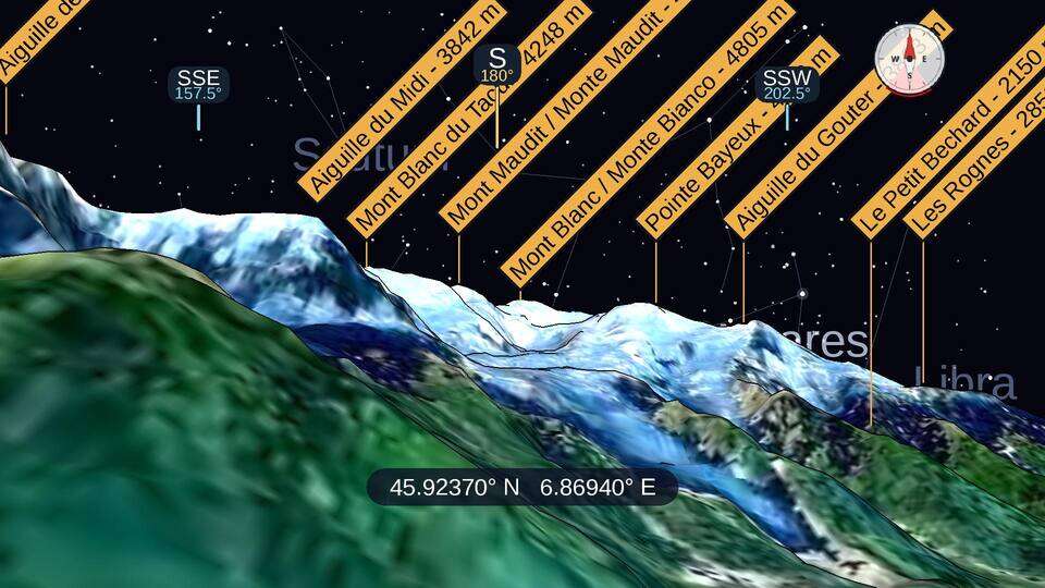
Every summit is labelled with its name and elevation as you move through the terrain. Mountain ranges, islands, lakes, glaciers and alpine huts are labelled too.

Trails and roads on the slopes

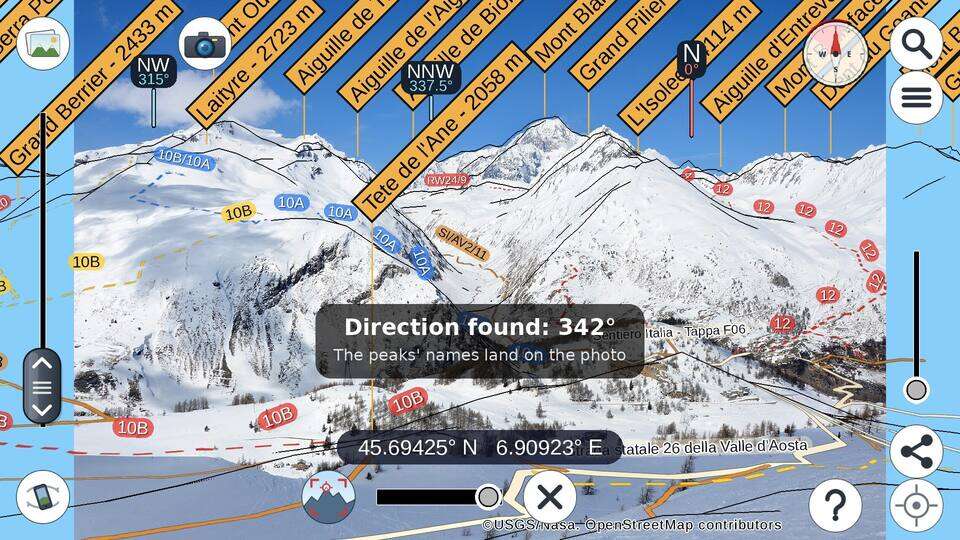
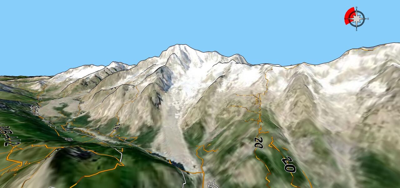
Footpaths, tracks and roads from OpenStreetMap are draped over the 3D shape of the mountains, trails coloured by their difficulty, with their names and waymark numbers written along them — so you can see where a path actually goes before you walk it.

A real sky

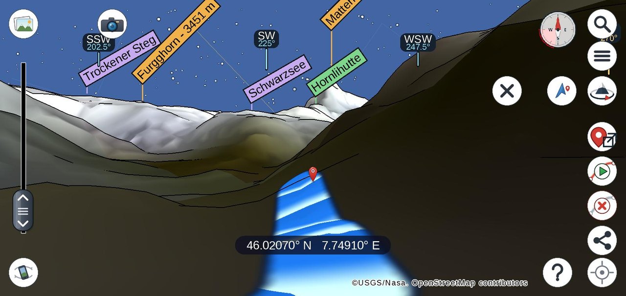
The sun, the moon with its current phase, and the stars are drawn where they really are for your location and time. Compass points sit on the horizon, and a full sky map can be overlaid.

GPX tours, with their profileNew

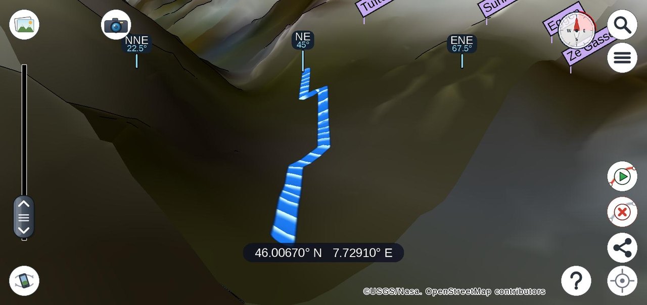
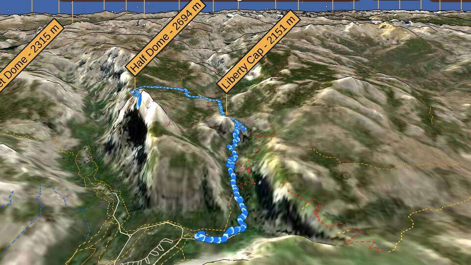
Load a GPX track and follow its path through the terrain — a hike you have planned or one you have already done, replayed in 3D. A pane beside the map gives its distance, walking time, ascent and descent, and a height profile.

A walking route to any pointNew

Tap the map and ask for the way there: PeakNav finds the walk from where you stand along the roads, tracks and paths of the downloaded map, and opens it as a track you can fly along. Walking time follows the slope, so the quicker way wins over the shorter one.

Ski slopes and liftsNew

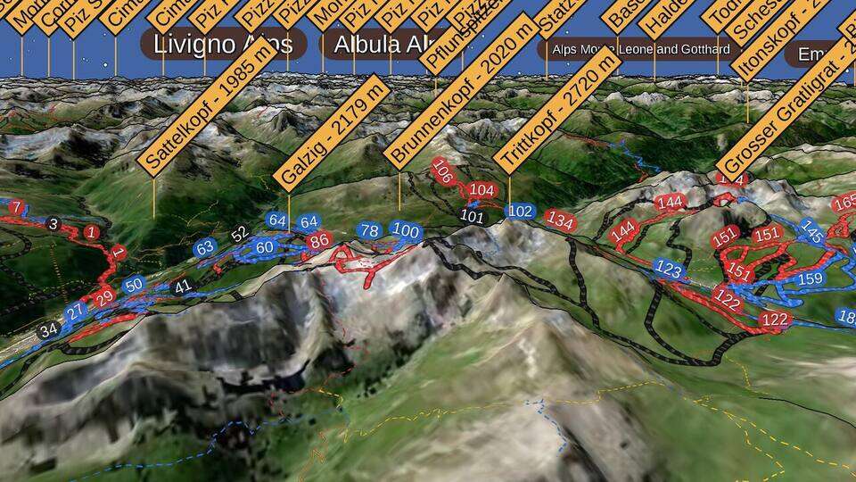
Downhill runs are painted on the terrain in their own colour — blue, red, black — with their names and numbers, and the lifts are drawn with their carriers moving uphill: cable cars, gondolas, chairlifts and drag lifts.

Fly there, or orbit it

Tap any point to fly to it in a smooth animation, or choose "orbit around" to circle a summit and see it from every side.

Point your phone at the horizon

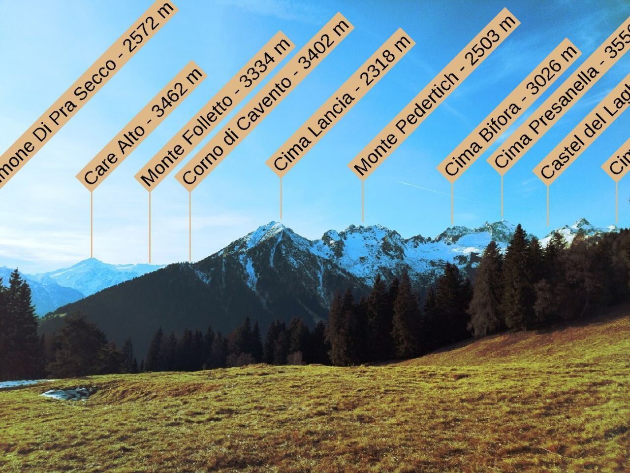
On Android and iOS, the gyroscope and compass turn the view with you: hold the phone up and the peaks in front of you are named on screen.

Tag your photos with the summitsNew

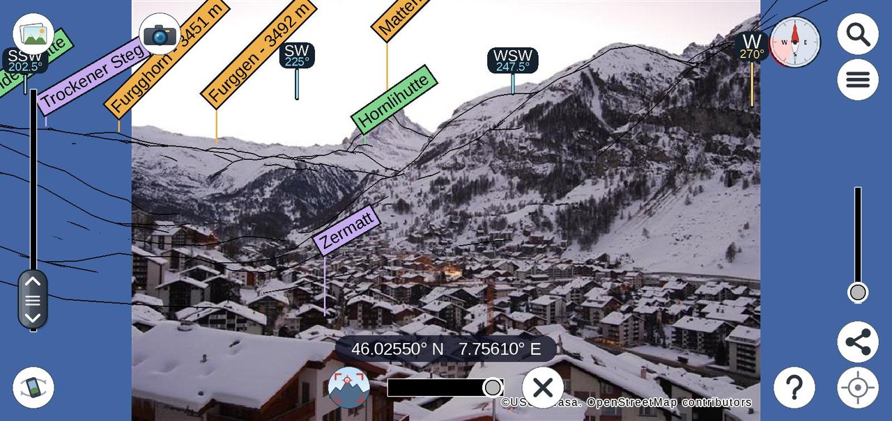
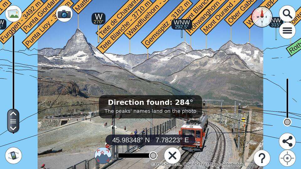
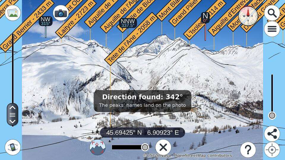
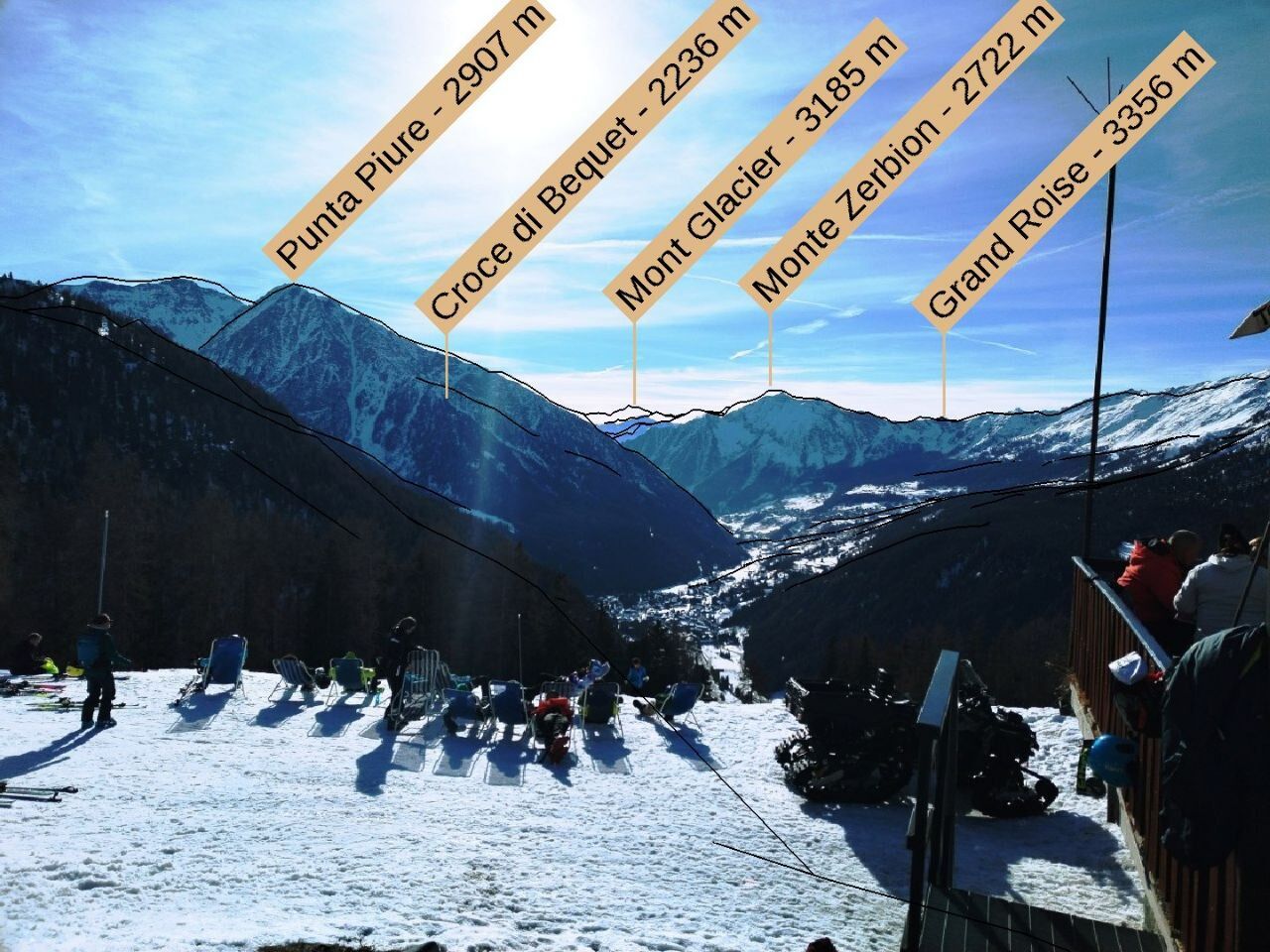
Take a photo in the app or open one from your gallery: PeakNav goes to where it was taken, works out which way it looks by matching its skyline to the terrain, and names the mountains in the picture. Not quite right? Double-tap a summit to pin it and line the rest up by hand. Share it as JPEG or PNG — the picture keeps where and which way it looks in its EXIF.

Terrain over your photoNew

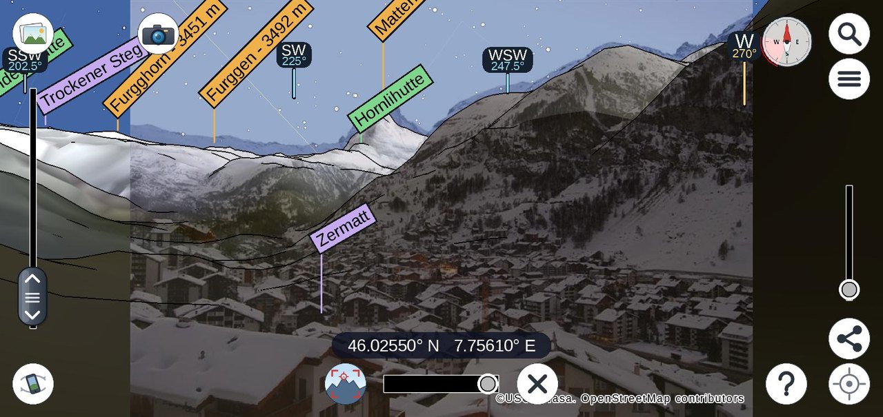
Keep just the ridge lines over the picture, or fade the rendered terrain in on top of it, from a hint to opaque — the quickest way to check every ridge against the real thing.

Search any place or peak

Find towns and summits by name in any language — "Venezia" and "Venice" both work — with elevations shown for peaks. Or type in coordinates directly.

Works offline

Terrain and map data download per area and stay on the device, so the app keeps working on the ridge where there is no signal.
In the app

What it looks like on the phone

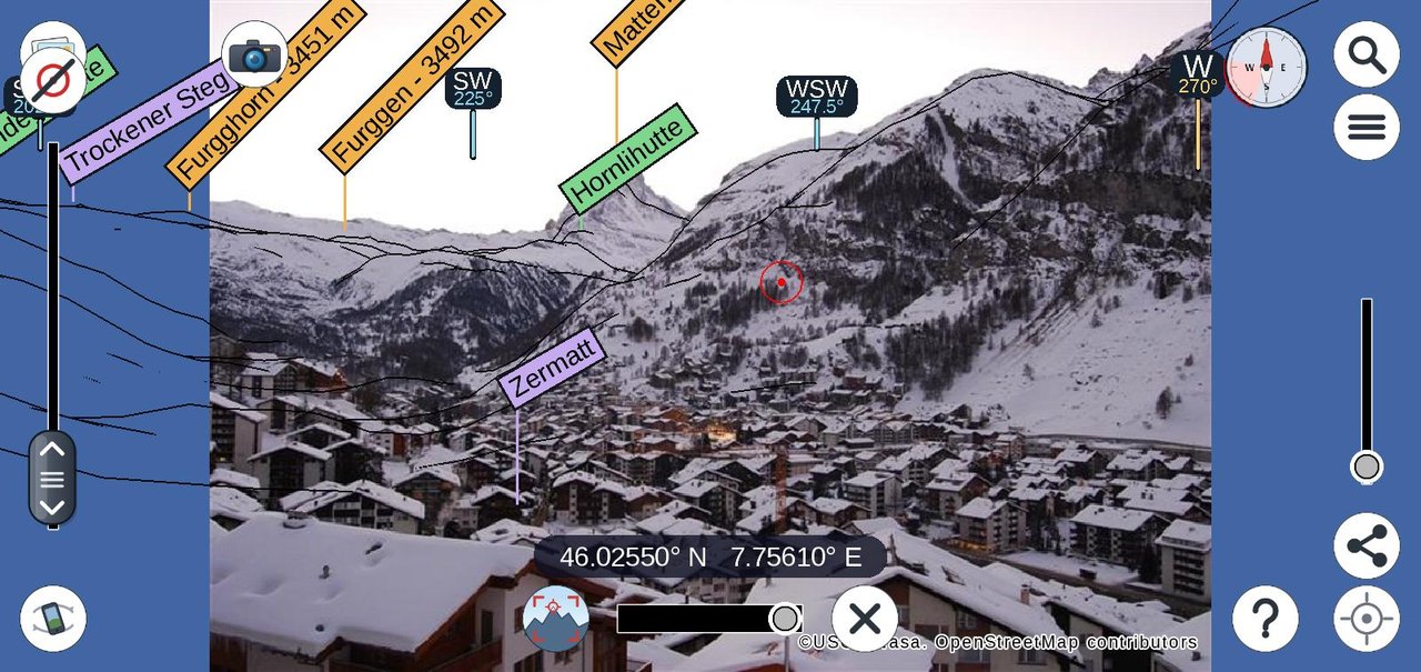
The screen of PeakNav, drawn by the app itself at the size of a phone held sideways, with pictures from its welcome slideshow.

Videos

Flights and orbits

Fly-throughs and orbits rendered by PeakNav's headless renderer, at 720p, streamed from Wikimedia Commons.

Orbiting the Matterhorn
Orbit mode · peak labels · 0:36 · Wikimedia Commons ↗
Flight through the Western Alps
Flight · peak labels · 1:20 · Wikimedia Commons ↗
Flight over the Dolomites
Flight · peak labels · 1:20 · Wikimedia Commons ↗
Orbiting Mount Rainier
Orbit mode · peak labels · 0:36 · Wikimedia Commons ↗
Orbiting Yosemite Valley
Orbit mode · area labels · 0:36 · Wikimedia Commons ↗
Flight over the Cyclades
Flight · island labels · night sky · 1:36 · Wikimedia Commons ↗

All videos by Upabjojr on Wikimedia Commons, licensed CC BY-SA 4.0 — free to reuse with attribution.

On the phone

Short screen recordings of the Android app, showing how the controls work.

Search and fly to a peakType a name, pick it, Go To — then climb with the altitude slider. · 0:31
Orbit around the MatterhornTap the peak, choose orbit, and circle it from 6500 m. · 1:02
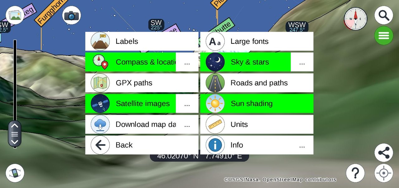
Switch the layersSatellite, roads, sun shading and peak names, from the options menu. · 0:33
Fly along a GPX trackLoad the route to Capanna Margherita (4554 m) and follow it up, seek bar included. · 1:09
The night skyNight mode from Zermatt: the ridge hides part of the starry sky. · 0:34
Download

PeakNav 1.3.3 for every desk and pocket

Released 2 October 2026. Each desktop download is self-contained — the app, its native libraries and a Java 17 runtime — so nothing else needs installing. All releases on GitHub →

Android

Google Play keeps it updated automatically. The same signed build is also available as a direct APK.

Get it on Google Play peaknav-1.3.3.apk · Android 5.0 or later

iPhone & iPad

Free on the App Store, for iPhone and iPad running iOS 13 or later. The same build also installs on Apple silicon Macs.

Download on the App Store On a desktop Mac, the native macOS build is the better fit.

Windows

Windows 10 / 11, 64-bit. Installs per user, no administrator rights needed.

Download installer peaknav-1.3.3-windows-x64-setup.exe

macOS

Disk images for Apple silicon and for Intel Macs.

Apple silicon (.dmg) Intel Mac (.dmg)

Linux

A Debian package for Debian and Ubuntu, or an .AppImage that runs on any other distribution — mark it executable and launch it, nothing to install.

Debian / Ubuntu (.deb) peaknav-1.3.3-x86_64.AppImage for all other Linux distributions

Anything else

Already have Java 8 or later, or on ARM or a 32-bit machine? The plain jar runs everywhere: java -jar peaknav-1.3.3.jar

Download .jar Smallest download · Linux arm64, Windows on ARM, 32-bit
First launch on Windows and macOS. The builds are not code-signed yet. On Windows, SmartScreen shows "Windows protected your PC" — click More info, then Run anyway. On macOS the app is signed only ad-hoc, so recent versions refuse it outright — "PeakNav is damaged and can't be opened", which it is not. Drag PeakNav to Applications, then run xattr -dr com.apple.quarantine /Applications/PeakNav.app once in Terminal; on older macOS, right-click the app and choose Open instead. Downloaded maps and settings are kept outside the install folder, so upgrading never loses your data.
For developers & researchers

Drive the renderer from Python. Or from anything that speaks HTTP.

PeakNav's engine is available beyond the app: a Python package on PyPI, a headless renderer that draws off-screen, and the global datasets it runs on.

# pip install peaknav

from peaknav.terrain import elevation_at
elevation_at(45.9417, 7.7480)   # the Breithorn → 4156

from peaknav.headless import PeakNavHeadless
with PeakNavHeadless(46.0207, 7.7491) as nav:   # above Zermatt
    nav.look(bearing_deg=230, pitch_deg=-4)
    nav.set_altitude_asl(3200)
    nav.save_frame("matterhorn.png")

    # a geotagged photo: go there, match its skyline, save it with the peaks named
    match = nav.tag_photo("IMG_2041.jpg", "IMG_2041_peaks.jpg")
    match["bearing_deg"], match["confident"]

peaknav.terrain gives the elevation of any coordinate on Earth in pure Python, from the same compressed ASTER dataset the app renders. peaknav.headless runs the real renderer off-screen for scripted snapshots, panoramas and videos — it exposes a REST API described at /openapi.json, and it tags photographs the way the app does: put a picture behind the terrain, point the camera by its skyline, and get it back with the peaks named and the pose in its EXIF. peaknav.jupyter (experimental) puts an interactive view inside a notebook.

What's new

Recent releases

The full notes for every version are on the releases page.

1.3.3 — 2 October 2026

  • One screen to find a place and fetch its map — search and downloads together, with a map of their own: the areas you already have are striped, and an offline world map lies underneath, so it works with no connection.
  • Markers — tap any point and keep it as a flag on the map, with a name and a colour; share your markers as a .gpx file. They live with your tracks under "My paths and markers".
  • Tap a label to learn more — a peak, village or lake opens a pane with its details and, when you are online, its Wikidata picture and Wikipedia article in your language.
  • Fifteen more languages — Dutch, Swedish, Danish, Finnish, Polish, Czech, Slovak, Slovenian, Croatian, Serbian, Romanian, Russian, Ukrainian, Bulgarian and Greek, chosen in the app; Greek and Cyrillic place names in their own script.
  • Downloads you can follow — a button stops one under way, a failure says why and is picked up again, and downloads go on with the screen locked; a new screen shows what they take of the device.
  • Routes name the ways they follow; photos and GPX files open in PeakNav from other apps or by dropping them on the window; fine-alignment buttons nudge a photo into place.
  • Python — peaknav 0.0.6 on PyPI drives the 1.3.3 renderer and checks its download against a pinned digest; scripts can read and answer the app's toasts and prompts through the REST API.
  • Android: a photo shared into PeakNav no longer crashes it at start, and a camera that cannot be opened is a message, not a crash. Many leaks closed, so the app is steadier and lighter on memory.

1.3.2 — 23 September 2026

  • Ski slopes and lifts — downhill runs painted on the terrain in their colour, with names and numbers, and lifts drawn with their carriers moving uphill. Areas downloaded with an earlier version need downloading again to get them.
  • Route to here — tap the map and a button finds the walk from where you stand to that point, and opens it as a GPX track. Walking time follows the slope, so the quicker way wins over the shorter one.
  • A GPX info pane — distance, walking time, ascent and descent, highest and lowest point, and a height profile; the tour shows where it is on the track, and a track can be saved or shared.
  • Search knows the famous mountains — about 7,000 of them from Wikidata, Everest and Kilimanjaro included; half a name is enough, and coordinates are understood in almost any form.
  • A welcome slideshow of what the app does, and a tutorial drawn by the app itself, which now also works on iOS.
  • iOS speaks the device's language; Norwegian works on every platform; phone-sized buttons and text on tablets; longer battery life on iOS and Android.
  • Android: the camera no longer crashes on phones that refused the picture size, and the app reopens cleanly after Android closed it in the background. iOS: the gyroscope works on devices without a compass.

1.3.1 — 14 September 2026

  • Roads, tracks and trails drawn by the graphics chip — sharp however close the camera comes, draped and shaded with the ground.
  • iOS has map lines for the first time — iPhone and iPad now show paths and roads.
  • Trails graded the way a paper map grades them — yellow for hiking, red for mountain hiking, blue for alpine routes, from the SAC scale in the map data.
  • Names along the way — street names, path names and waymarked trail numbers written along their own way.
  • A panel to restyle it all — colours, dashes and how often names appear, under "Roads and paths" in the options.
  • The Mapsforge map engine is replaced by PeakNav's own code; the Python package is on PyPI.

1.3.0 — 9 September 2026

  • PeakNav is on iOS — the iPhone and iPad app is on the App Store, built from the same code as every other platform: GPS and the gyroscope camera, photos from the gallery or the camera, GPX files and the tutorial.
  • Photos match themselves — open a geotagged photo and the app goes to where it was taken, finds which way it looks by matching its skyline to the terrain, and turns the camera to it, so the peaks are named on your own picture.
  • Pin and turn — double-tap a summit on the photo to pin it, then drag and pinch to turn and stretch the terrain around it. A button forces a match at any time.
  • Terrain over the photo — a bar fades the rendered terrain in over the picture, from ridge outlines only to opaque.
  • Pictures that remember — anything you save or share carries its position, altitude, heading and field of view in its EXIF, so it keeps its place in your library and lines up again when opened back in the app.
  • A rebuilt tutorial, in your language — the "?" screen shows the app as it actually is, with a marker on the control each step describes, translated into all seven languages rather than English only.
  • Photo tagging from Python and over HTTP — the headless renderer loads a photo, matches it and returns it with the peaks named: nav.tag_photo(photo, out).
  • Satellite downloads no longer wedge until a restart; the interface stays inside the safe area on notched screens; large photos decode off the interface thread; sideways photos are read the right way up; and java -jar now starts on macOS.

1.2.0 — 5 August 2026

  • The sky is now real — sun, moon (with phase) and stars at their true positions, compass points on the horizon, optional sky map with an astronomical grid.
  • GPX tours — load a track and follow it through the terrain.
  • Orbit mode — circle a point instead of flying to it.
  • Headless renderer with a Python API, and the peaknav package on PyPI.
  • Sharing on desktop saves a JPEG or PNG; town labels scale with population; lakes and regions labelled as areas; non-Latin names transliterated.
  • Sharper map tiles, better search, new icons; peaks easier to tap; labels no longer overlap; much steadier gyroscope on Android.

1.1.0 — 28 July 2026

  • Installers for Windows, macOS and Linux, each bundling its own Java runtime.
  • New app icon across every platform.
  • A photo's coordinates are read from its EXIF data, so opening a picture sets your position.
  • Redesigned in-app tutorial.
  • Android: targets Android 16, ~4 MB smaller, startup crash after background kill fixed.

1.0.0 — 21 October 2025

  • First desktop release, as a runnable jar for Windows, macOS and Linux.
  • The Android app, previously Play-Store-only, joined by the same code base on the desktop.
Support & contact

Need help, found a bug, or have an idea?

PeakNav is developed by a single person, and every message is read. Write an email for questions about the app, or open an issue on GitHub for bug reports and feature requests, so that others can follow and contribute.

When reporting a problem, please include the app version (shown in the in-app Info page), your device or operating system, and what you were doing when it happened. For crashes on Android, the Play Store's “Send feedback” option attaches the details automatically. Questions about privacy are answered in the privacy statement; the terms of use are in the license agreement.